Static Map API
About
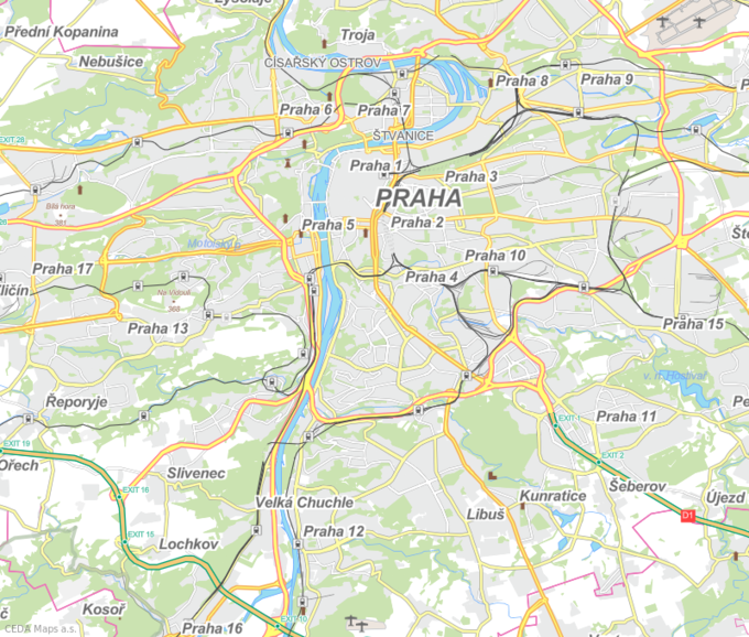
The service provides raster images created from vector tiles. Several map styles are available, as well as multiple ways to generate the image.
It is also possible to place routes specified by a list of coordinates over the rasterized tiles.
How to use
Autorization
For each request, add your token to the token query parameter.
Endpoints
Base URL: api.ceda.cz
- Center-based
- /static-map/styles/{style-id}/static/{lon},{lat},{zoom}[@{bearing}[,{pitch}]]/{width}x{height}[@2x].{format}
- Area-based
- /static-map/styles/{style-id}/static/{minx},{miny},{maxx},{maxy}/{width}x{height}[@2x].{format}
- Autfit-path (see below)
- /static-map/styles/{style-id}/static/auto/{width}x{height}[@2x].{format}
All the static image endpoints additionally support following query parameters:
- path - comma-separated lng,lat, pipe-separated pairs
- e.g. 5.9,45.8|5.9,47.8|10.5,47.8|10.5,45.8|5.9,45.8
- latlng - indicates the path coordinates are in lat,lng order rather than the usual lng,lat
- fill - color to use as the fill (e.g. "red", "rgba(255,255,255,0.5)", "#0000ff")
- stroke - color of the path stroke
- width - width of the stroke
- padding - “percentage” padding for fitted endpoints (area-based and path autofit)
- value of 0.1 means “add 10% size to each side to make sure the area of interest is nicely visible”
List of styles
| Style name | Style ID |
| CZE basic | cze-basic |
| CZE faded | cze-faded |
| CZE grayscale | cze-grayscale |
| CZE-SVK basic | cze-svk-basic |

